Survey
- Vessel Positioning Survey Positioning, Seabed Topography, Leg Penetration
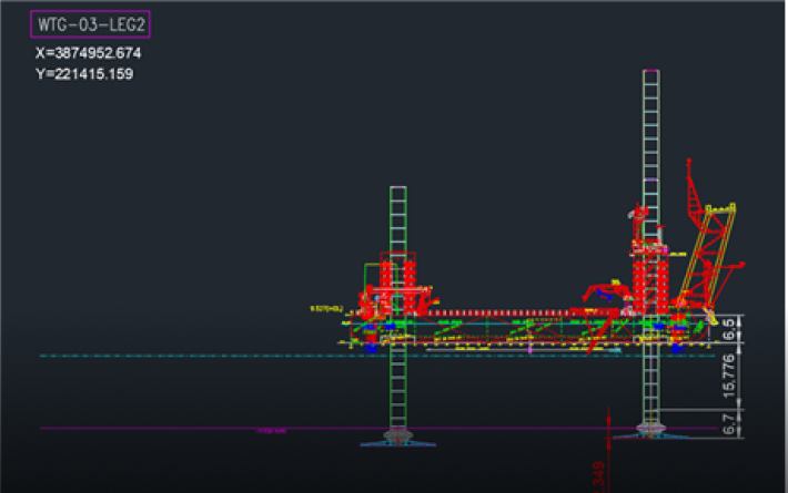
- Installation Tolerance Check Positioning, Elevation, Inclination
Provision of Optimized GNSS Solutions Tailored to Offshore Site Conditions
-
PPP(Precise Point Positioning)
Suitable for remote offshore areas or environments without communication connectivity. -
RTK(Real-Time Kinematic)
Provides high accuracy in environments where base stations can be installed and communication is available. -
VRS or FKP
An efficient solution for nearshore areas close to land. -
Total Station
Applied in environments where GNSS cannot be used.
Scope of Work
-
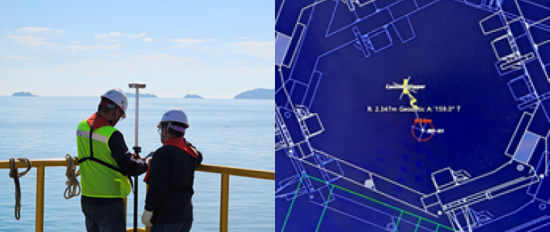
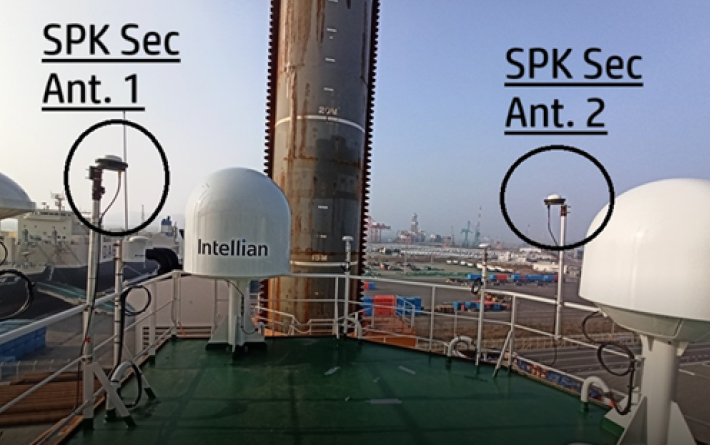 Positioning
- Install two GNSS antennas on the vessel to determine the current position and navigate to the designated coordinates.
-
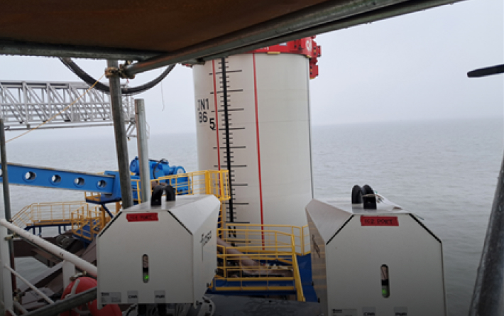 Inclination
- Compensate for vessel movement by integrating MRU (Motion Reference Unit) data with sensor fusion.
- Monitor pile verticality using two HDR cameras capable of operation in low-light and harsh weather conditions.
-
 Seabed topography
- Identify safe leg landing positions for the jack-up barge by utilizing bathymetric data.
-
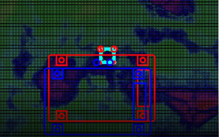
 Leg penetration
- Calculate leg penetration depth into soft layers by combining jack-up leg position data with vessel elevation survey results.